Changing plans
Published on 20.05.2007 - The Arctic Arc
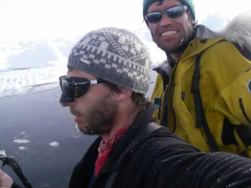
In good shape
© International Polar Foundation
If the two men continue to aim for the Victoria Fjord, they are throwing themselves straight into the lion's jaw. That is to say that the risks are enormous if they continue to head for Victoria Fjord: the route advisor is adamant. Consequently, they are modifying their itinerary to Greenland.
An enormous zone of fractured ice floes (circled in yellow) are developing around the entrance of the Victoria Fjord, along the exact route the expedition was planing to follow.
Ice navigation has come a long way since the heroic age of polar travel when the tools for taking a bearing were the same as for any ship on the ocean. Since then, the advent of the GPS has taken the emphasis off the compass and sextant. Now, with satellite imagery the Arctic ice can be deciphered to a growing extent by the initiated. Since the departure of the expedition, this has been very useful. Gigi Amin, of the International Polar Foundation, has been following the route of the Expedition using radar images of ice conditions provided by the European Space Agency's Envisat satellite and, in the earlier stages by using data provided by the Arctic and Antarctic Research Institute in St Petersburg. The satellite data has been very useful in predicting drift patterns and large areas of open water along the over 1000 km journey.
Despite satellite date limitations, covering the ice extent is not one of them. In the last image taken on the 19th of May, it is absolutely clear that if the two men continue to aim for the Victoria Fjord as previously planned, they will encounter serious difficulties. The ice in the Lincoln Sea area is in the process of breaking up and being dragged into the Robeson Channel by a rapid drift, and there is no way of predicting exactly how the situation will evolve over the next few days or weeks.
Thus, when the expedition team received these satellite images by e-mail (reduced as much as possible in size without compromising the detail) from the route advisor, they decided then and there to change the heading and to take a bearing instead towards a small Cape situated at 83°30' N 38°00' W, approximately 200 km east of the mouth of the Victoria Fjord, and about 50km west of Cape Jessup. The team hopes thus to arrive much more quickly. They have, as of today, 400 km to cover before they arrive along the Greenland coast. It is now a race against the clock, as the summer melt progresses. The team has to bring everything to a rapid finish in order to avoid any unpleasant surprises.


